A short walk from Grasmere village to Alcock Tarn via Greenhead Gill, Grey Crag to Brackenfell woods, and down to the village we did on a snowy winter day.
It is about a 6 km long (3.7 miles) hike, circular, and fairly moderate to walk that includes some steeper serpentine style zig-zag bits along the sides of Grey Crag and Butter Crags.
The path along this hike is well-maintained and features a small wooden bridge, a couple of benches along the way that is great for short biscuit breaks with views.
It took us about 3 hrs to complete the whole walk but we were doing it pretty slow, stopping at numerous places to enjoy the views, food, and coffee. If you are in hurry my guess is it can be completed in just over an hour. Wear good boots!
Alcock Tarn lies about 360m (1000 feet approx) above Grasmere village. It is a natural mountain lake (tarn) that has a man-made dam to make it a bit larger. It is situated on the grassy plateau at the top of the fell that offers truly breathtaking views over the valley.
In this article, you will find the details of the walk with photos. At the bottom of the article, there is a map of the walk as well.
Video of the walk:
We took this video by basic YI action camera that we hold on the chest mount harness. That’s why the footage is shaky. The next video will be better, I promise. There is little video editing involved, most of the footage is raw. See also below photos.
Details of the walk with photos:
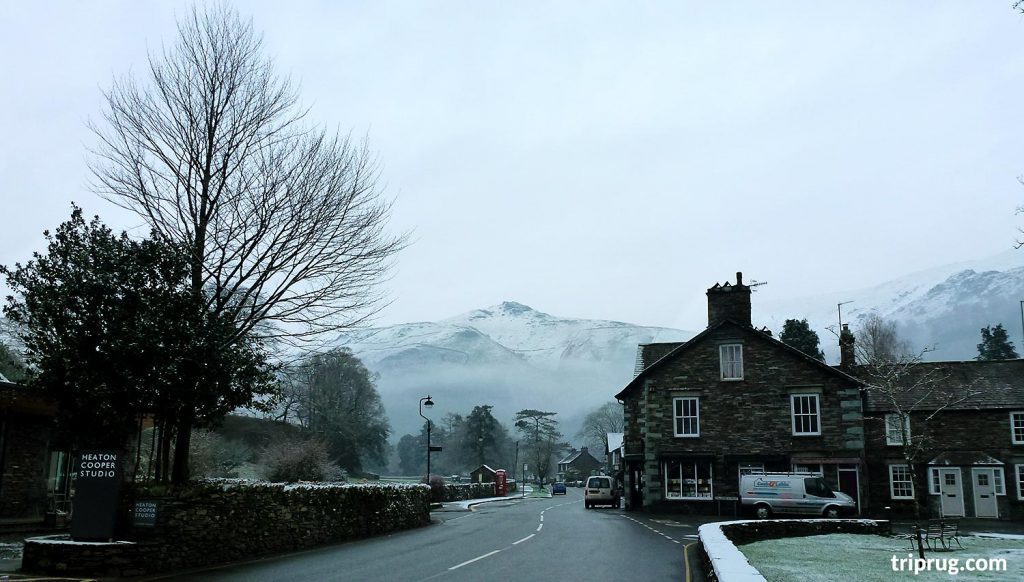
We started with a walk from the very center of the Grasmere village, from Broadgate road, just around the corner of our rented cottage. In the above photo, you can see the Broadgate road in the morning when we started with the walk with views over Stone Arthur peak (503m) in the center, above.
Walking along the road, passing by a field, on the left, you can see Helm Crag (405m) in the center of the photo.
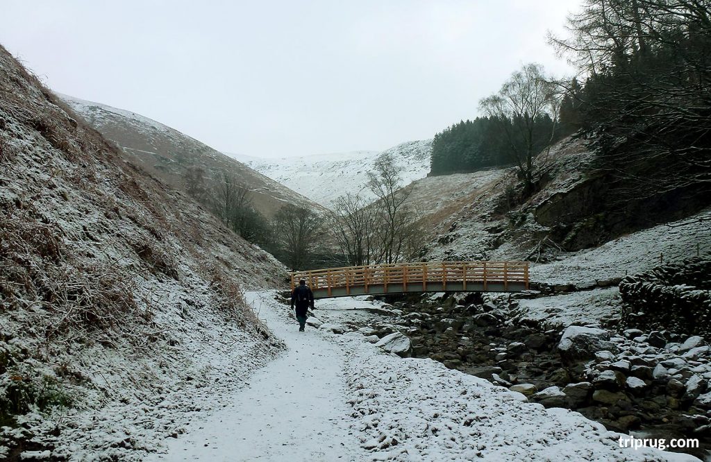
We crossed the road near the Swan Hotel and followed the steep path towards the fells, crossing the wooden bridge to walk further up.
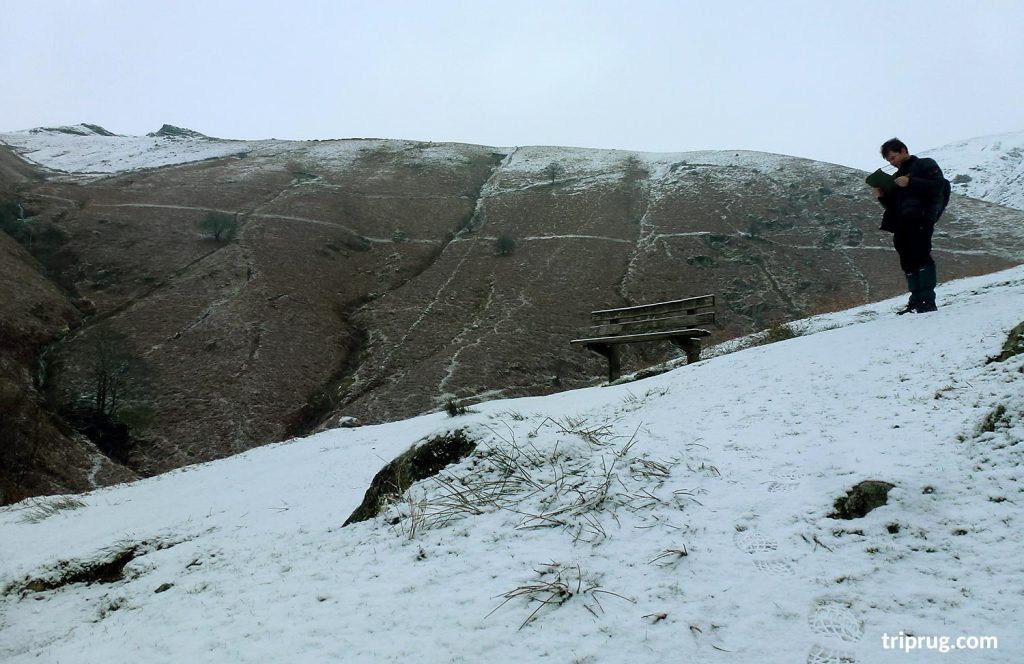
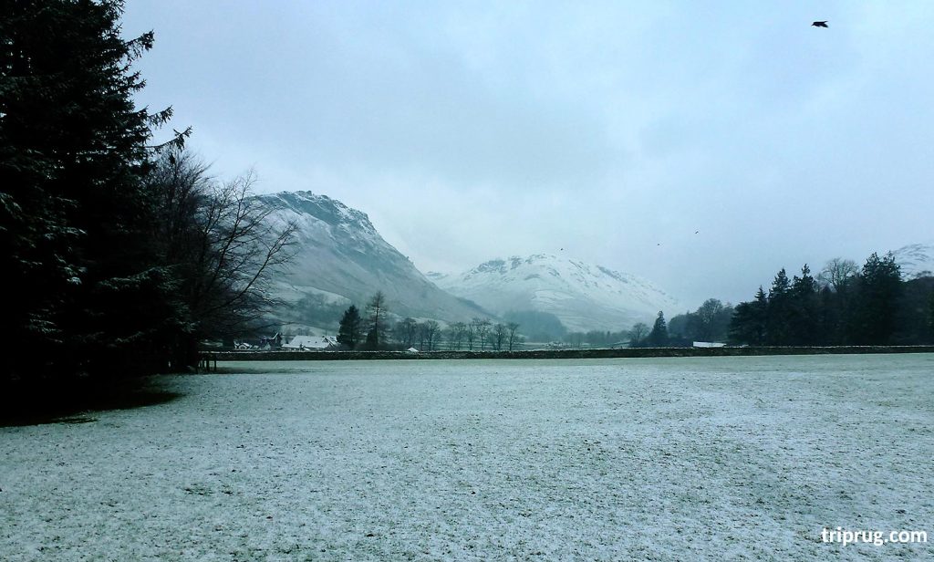
A short break to check the map near the bench with views over low levels of Stone Arthur (503m) on the left where most of the snow from yesterday already melted.
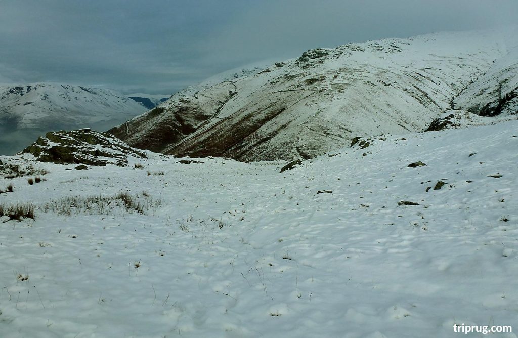
As we walk further up there was more snow on the path as well as on the Stone Arthur’s slopes.
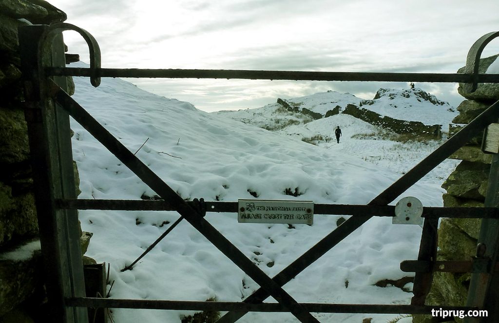
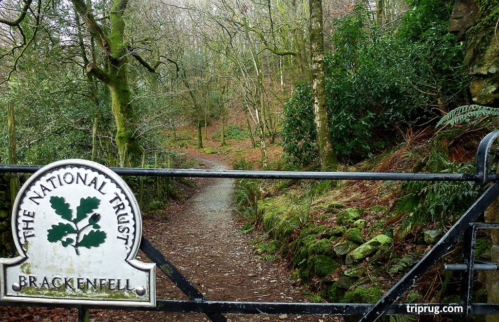
Passing through the gate in the hiking path – ‘Close the gate’ (The National Trust)
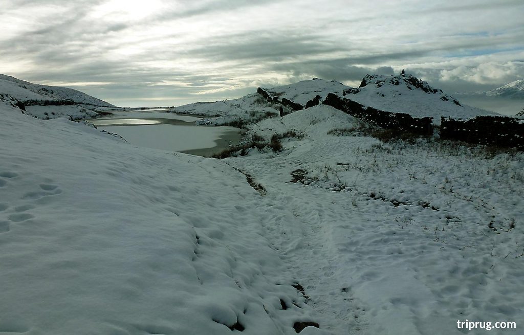
The approach to Alcock Tarn plateau with small lake completely frozen.

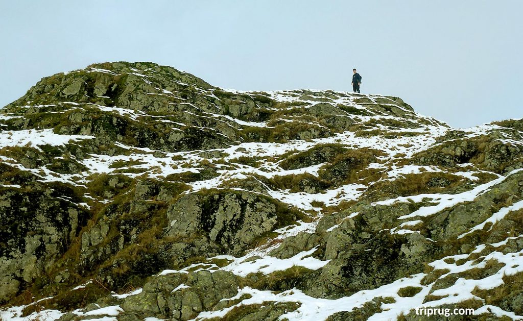
A rocky area along the path
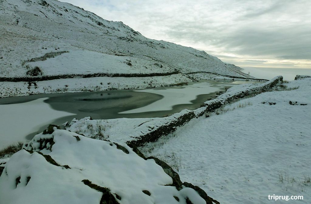
Frozen Alcock Tarn lake views from the elevated position on the high rocks near the lake.
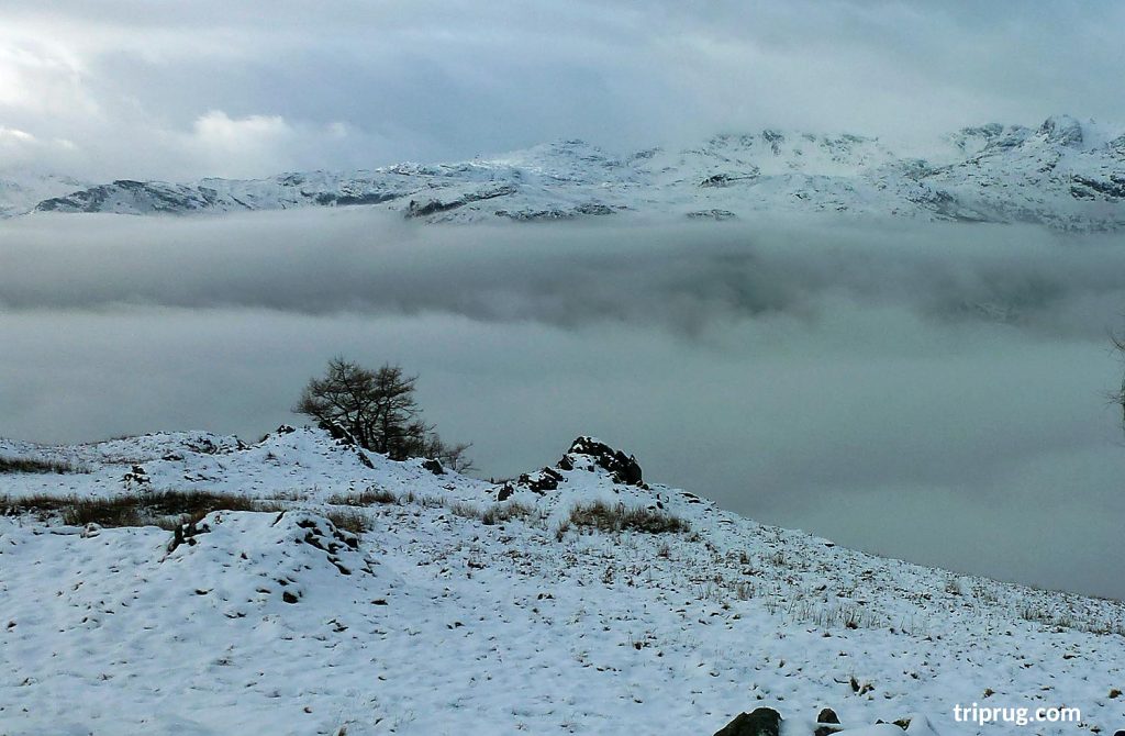
While we were having lunch and enjoying the views over the lake, fells and valley, the mist slowly covered the whole area.
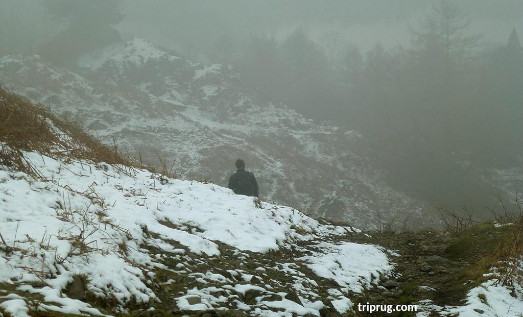
We decided to carry on and make a leisurely descent down towards the valley and the village.
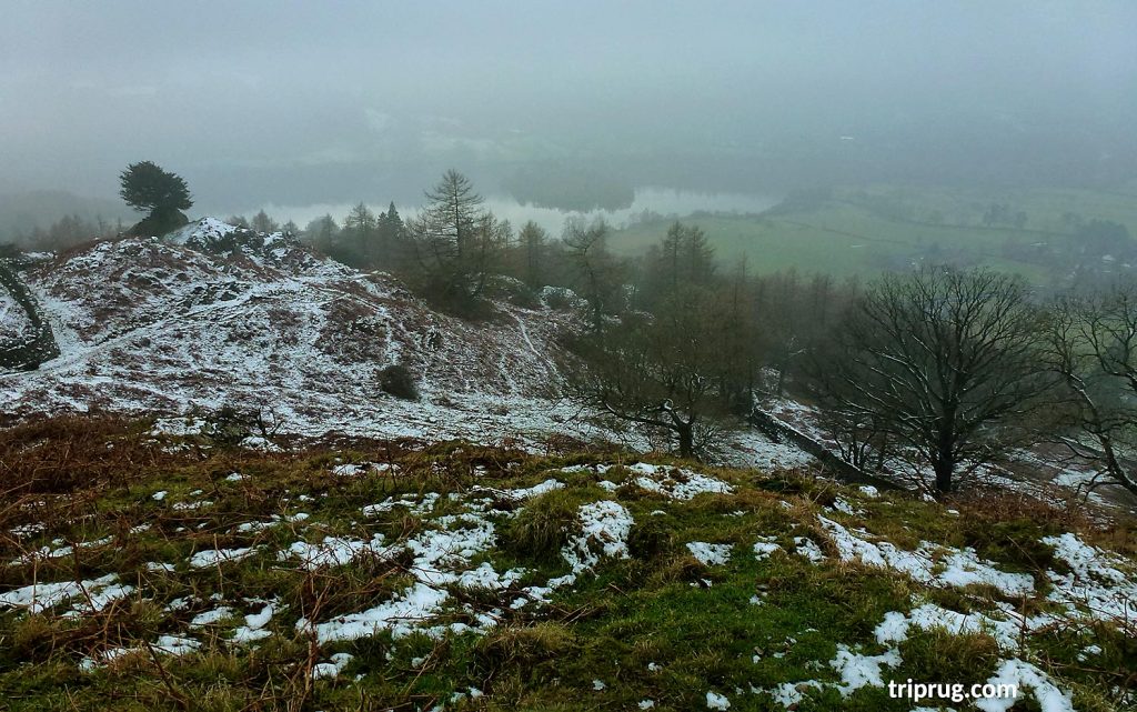
The descent back to the valley was easier, there was less snow, and the hiking path was clearly visible. From all the points of the path, the Grasmere lake views were rewarding. (see list of hiking essentials)
Eventually, we approached the gate of Brackenfell, which was the end of our walk. From here we followed the local road back home.
If you wish you can start your walk from here instead of where we started. We simply have chosen that starting point as it was closer to our cottage. Also, it is a steeper start so we thought it is better to do a steeper bit at the beginning of the hike. By the time we arrive down to the valley, there was hardly any snow left.
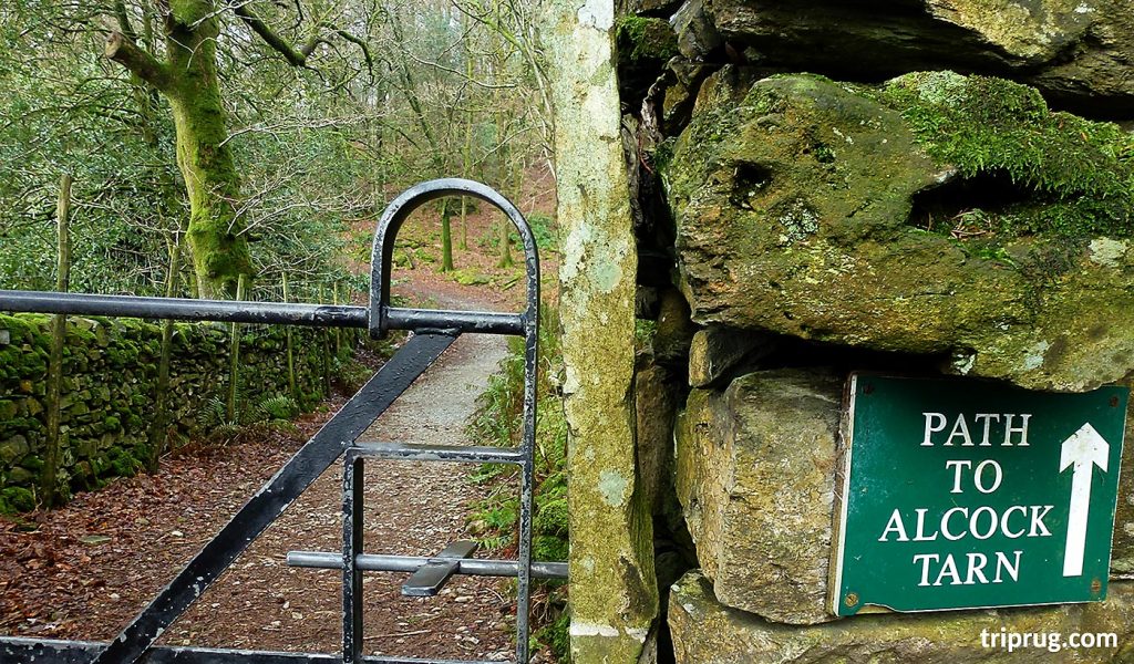
Sign with directions if you start this walk from the Brackenfell side.
Location Map of Alcock Tarn
Alcock Tarn GPS coordinates: 54°27’44.0″N 3°00’21.3″W (54.462217, -3.005907)
See detailed, large map with all info for your walk here
Where to stay:
We stayed in the lovely small cottage apartment in the center of the Grasmere village which I can highly recommend. It was well equipped, clean and warm, situated close to all amenities of the village including public transport (bus stop) for a bus that took us to the Windermere for a train back home.